File:MaHonMap.jpg

Size of this preview: 598 × 599 pixels.
Original file (800 × 802 pixels, file size: 387 KB, MIME type: image/jpeg)
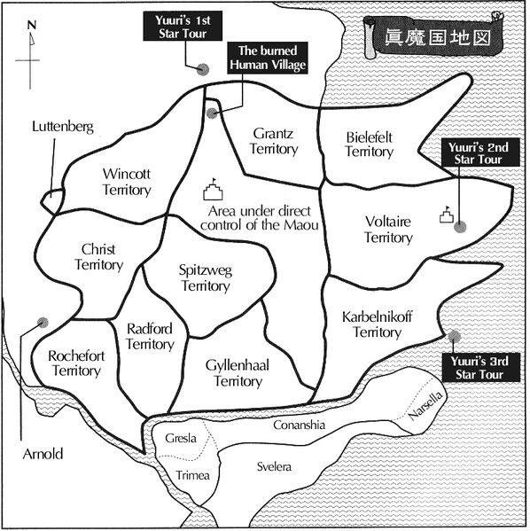
Map of Shin Makoku. Not 100% compliant with format standards.
File history
Click on a date/time to view the file as it appeared at that time.
| Date/Time | Thumbnail | Dimensions | User | Comment | |
|---|---|---|---|---|---|
| current | 07:28, 7 April 2017 | | 800 × 802 (387 KB) | OtonashiDiva (talk | contribs) | Map of Shin Makoku. Not 100% compliant with format standards. |
You cannot overwrite this file.
File usage
The following page uses this file: